The Mystery of Carolina Bays
💀💀💀💀
3.5/5
68 votes
About The Mystery of Carolina Bays
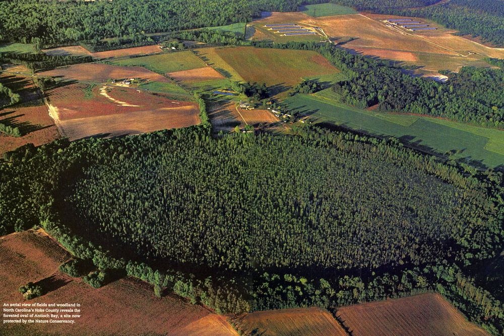
In the 1930s, when the Atlantic coast was being photographed from airplanes for the first time in history, a curious geological feature came to light. The coast stretching from southern New Jersey to northern Florida was littered with thousands of strange elliptical depressions like craters on the Moon. These depressions are now collectively called Carolina Bays, but they are also known by different names. In Maryland, they are called Maryland Basins, and within the Delmarva Peninsula, they are called Delmarva bays. The term “bay” is a reference to the variety of bay trees that grow in and around these depressions. Carolina Bays are consistently oval in shape and occur in clusters with sizes ranging from a couple to several thousand acres. Most of them are vegetated wetland that fill with rainwater in winter and spring, and dries in the summer months. They share a number of common features, but the most striking of them is their orientation—every single one of them is invariably aligned in the same direction. Photo credit: Smithsonian All Carolina Bays display a marked alignment in the northwest to southeast direction, although there are minor local fluctuations. The alignment also deviates systematically by latitude. Quoting Wikipedia : The orientation of the long axes of Carolina bays systematically rotate northward along the Atlantic Coastal Plain from northern Georgia to northern Virginia; the average trend of the long axes of Carolina Bays varies from N16°W in east-central Georgia to N22°W in southern South Carolina, N39°W in northern South Carolina, N49°W in North Carolina, and N64°W in Virginia. Within this part of the Atlantic Coastal Plain, the orientation of the long axes of Carolina bays varies by 10 to 15 degrees.
Rate This Cursed Place
How cursed is The Mystery of Carolina Bays? Drag to vote 1-5 skulls.
Photos of The Mystery of Carolina Bays


Comments (0)
Add your comment